
{:en}The Tatacoa Desert{:}{:es}El Desierto de la Tatacoa{:}
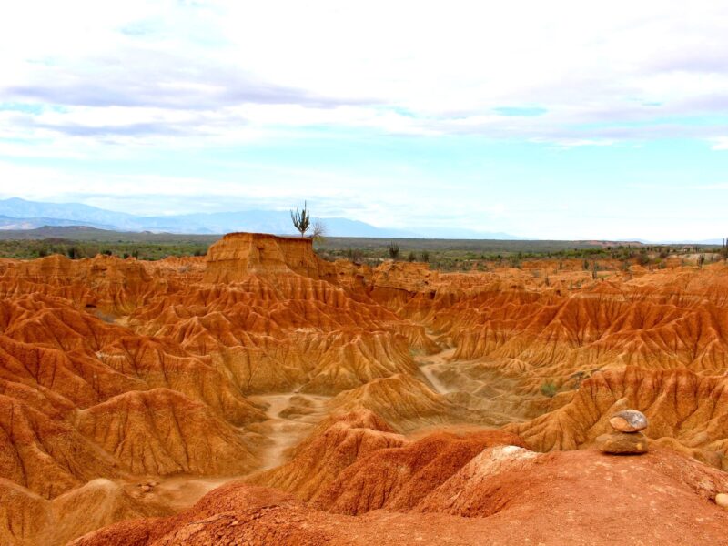
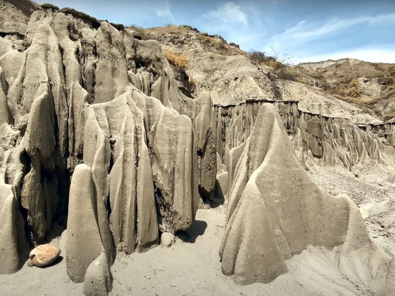
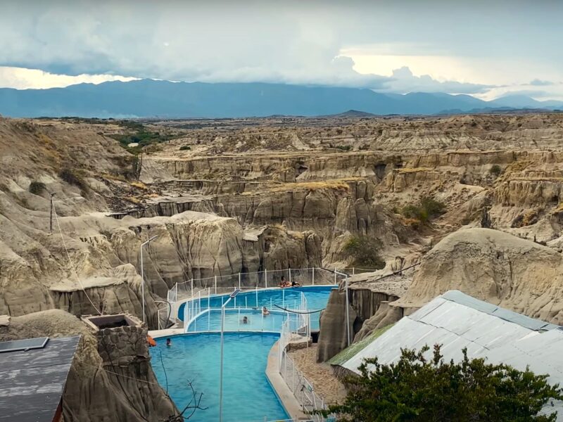
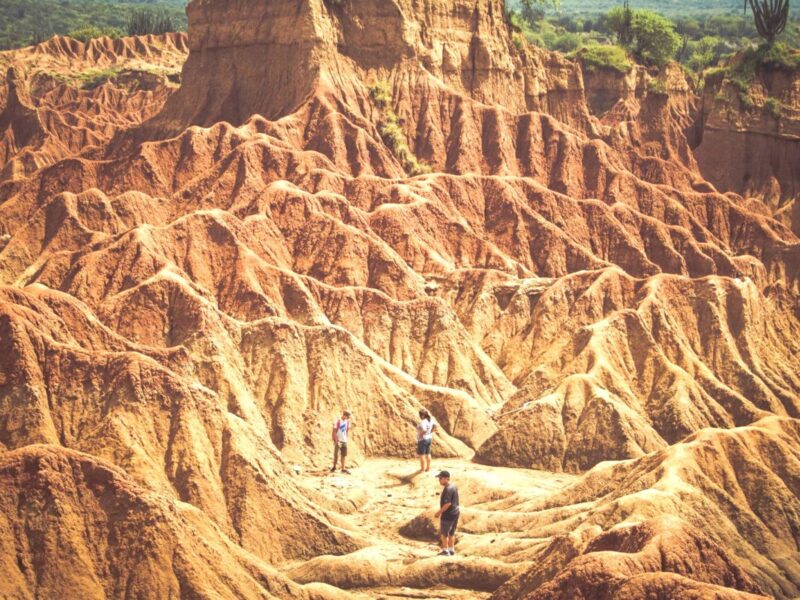

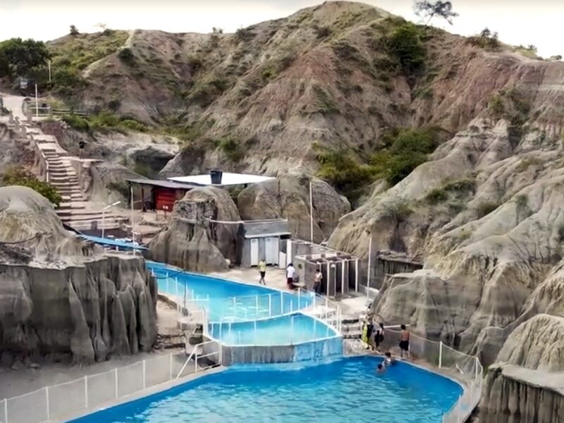
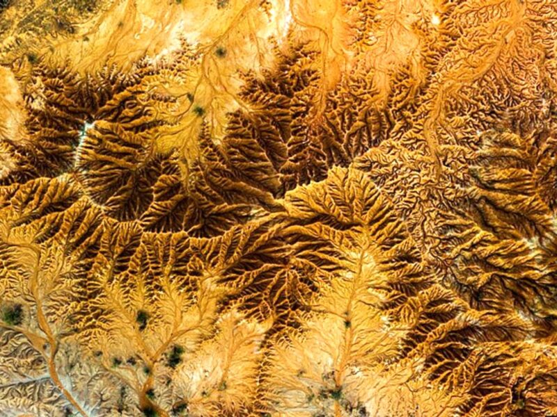
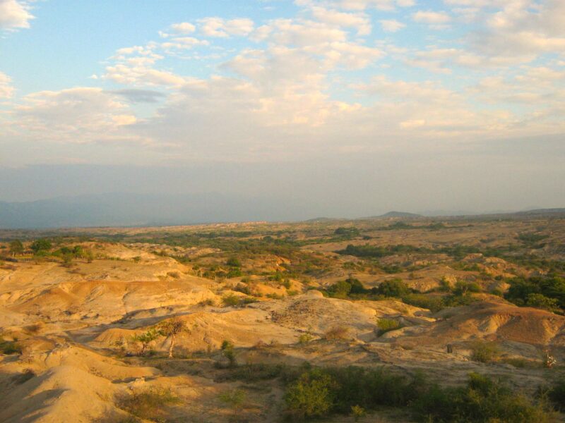
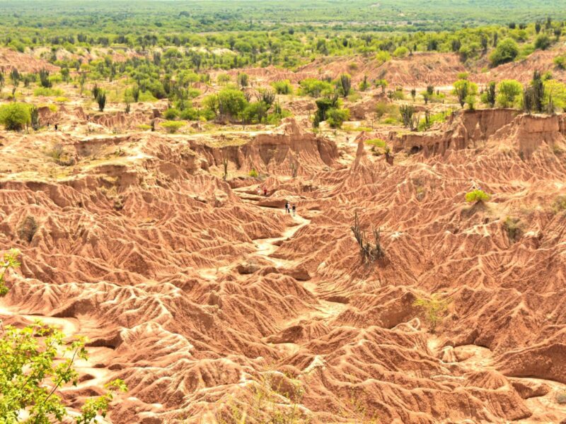
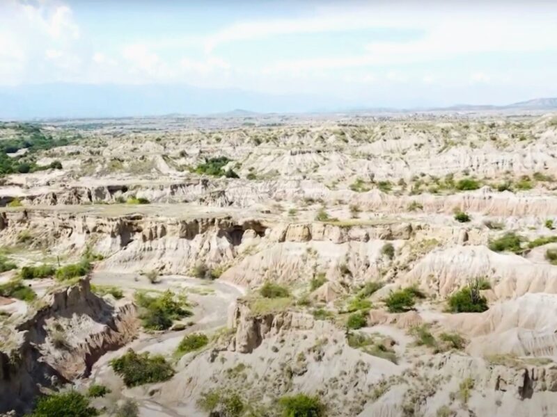
{:en}The Tatacoa Desert is the second largest arid zone in Colombia after the Guajira Peninsula. It occupies more than 330 square kilometers. This region is located north of Huila Department, 38 km from the city of Neiva in Colombia and 15 km (9 mi) from Natagaima in Tolima. It is renowned as a rich deposit of fossils and a tourist destination. The Tatacoa Desert has two distinctive colors: ocher in the area of Cuzco and gray in the Los Hoyos area.
The Tatacoa, or the Valley of Sorrows, as it was called in 1538 by the conquistador Gonzalo Jiménez de Quesada, is not a desert, but a tropical dry forest. The name “Tatacoa” also given by the Spanish, refers to its rattlesnakes. During the Tertiary Period, it was wetter, with thousands of flowers and trees, but has been gradually drying up to become an arid zone.{:}{:es}El Desierto de la Tatacoa es la segunda zona árida más grande de Colombia después de la Península de la Guajira. Ocupa más de 330 kilómetros cuadrados. Esta región se ubica al norte del Departamento del Huila, a 38 km de la ciudad de Neiva en Colombia ya 15 km (9 mi) de Natagaima en el Tolima. Es conocido como un rico depósito de fósiles y un destino turístico. El Desierto de la Tatacoa tiene dos colores distintivos: ocre en la zona de Cuzco y gris en la zona de Los Hoyos.
La Tatacoa, o Valle de los Dolores, como la llamó en 1538 el conquistador Gonzalo Jiménez de Quesada, no es un desierto, sino un bosque seco tropical. El nombre “Tatacoa” también dado por los españoles, hace referencia a sus serpientes de cascabel. Durante el Período Terciario, era más húmedo, con miles de flores y árboles, pero se ha ido secando gradualmente hasta convertirse en una zona árida.{:}